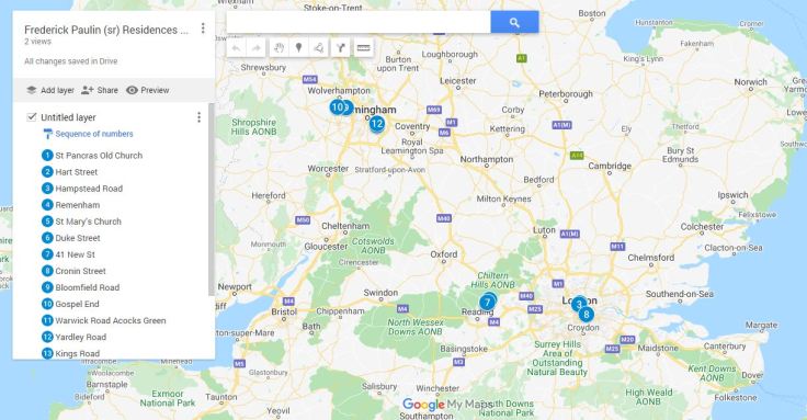
Second Map in the series – where Frederick and Mary Paulin lived, between 1860-1920. The map is fairly large and covers both Vancouver Island and England. Enjoy the journey.
Descendants of Frederick and Mary Paulin gather here

Second Map in the series – where Frederick and Mary Paulin lived, between 1860-1920. The map is fairly large and covers both Vancouver Island and England. Enjoy the journey.

Leave a comment